

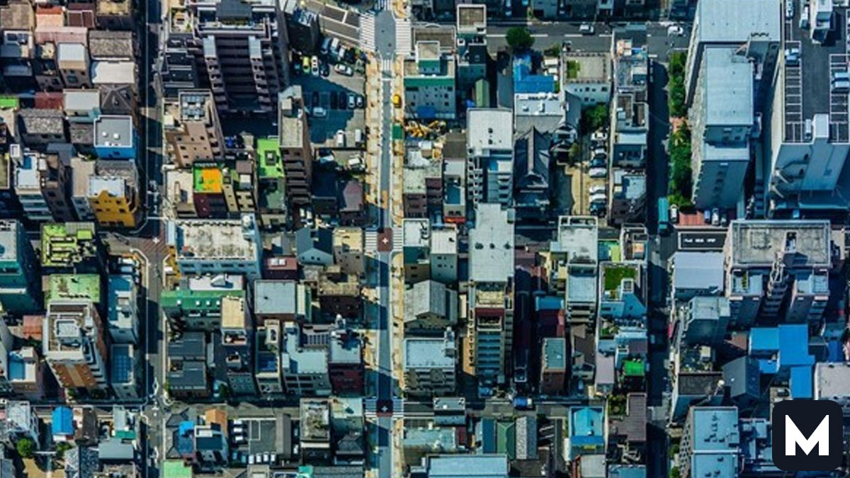
When engineers build modern urban spaces around the world, they usually rely on strict, geometric planned city layouts. We assume that clean parallel streets, perfect right angles, and neat square blocks make a city successful. Yet, if you look past the cold symmetry of a modern satellite image, you discover that human life naturally pushes back against these strict boundaries. Real communities are vibrant, chaotic, and shaped over hundreds of years by unpredictable cultural movements.
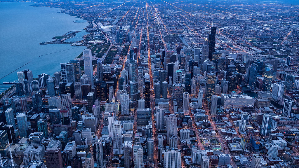
Urban planners always try to create total order when they design a new metropolis from scratch. They map out wide avenues, uniform housing blocks, and predictable traffic circles on a blank canvas. For the most part, these flat drawings look incredibly impressive to government officials who want to control every square inch of land. We think that putting citizens into perfect boxes makes a society run efficiently.
Consequently, these clinical designs often ignore the organic way that real communities grow and interact. Throughout history, developers realized that a city is not just a mathematical puzzle to solve. People naturally carve out their own paths, establish hidden shortcuts, and gather in unexpected places that standard grids miss.
As a result, even the most rigid urban grids eventually break down or feel completely artificial to the people living inside them. Let us look at three incredible examples from global history that show why real life requires far more than straight lines.
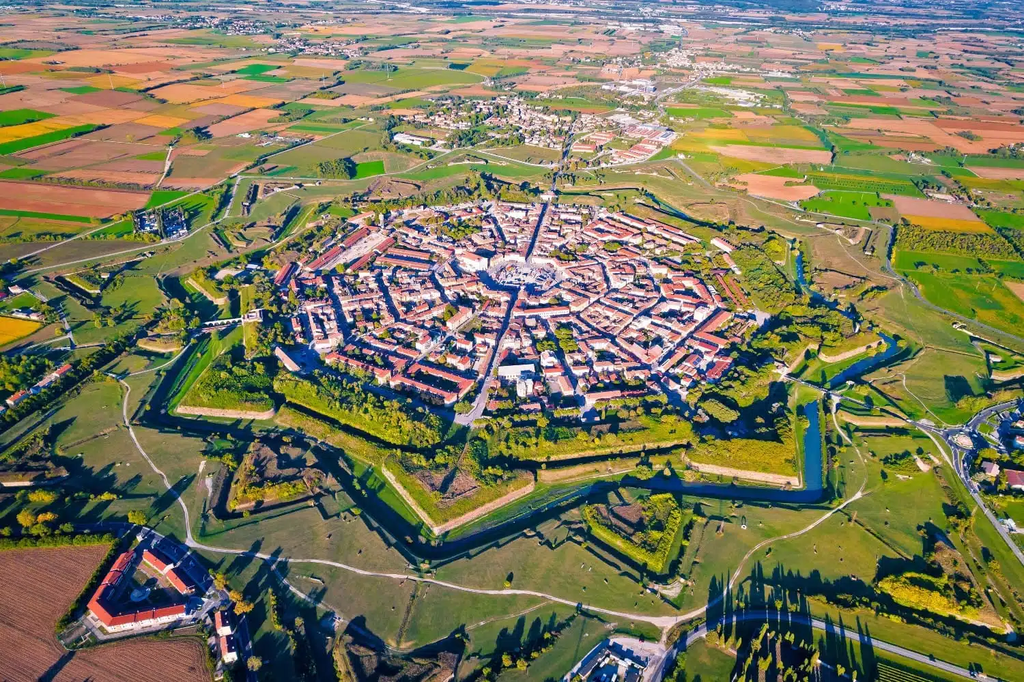
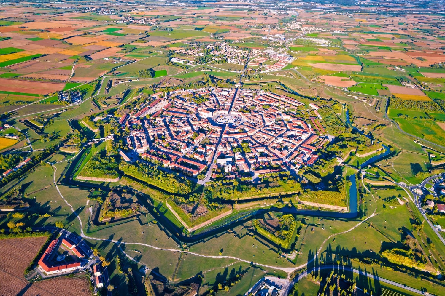
Palmanova is a fascinating town in northeastern Italy that builders constructed during the late Renaissance. On a standard map, the entire place looks like a massive, flawless geometric star. It represents one of the most extreme planned city layouts ever built, featuring a perfectly symmetrical fortress with nine sharp points.
The military architects wanted to create a utopian community that was completely protected from enemy attacks. Therefore, they designed concentric radial streets that all branch out from a single central square. Nevertheless, walking through the town today feels entirely disorienting for the average human visitor.
Because every single street corner looks identical, people constantly lose their sense of direction without a digital compass. The rigid geometric design treats human movements like predictable clockwork. In conclusion, Palmanova shows that while a star layout looks beautiful from an airplane, it completely ignores how humans naturally navigate.
2. The Overwhelming Grid of New York City
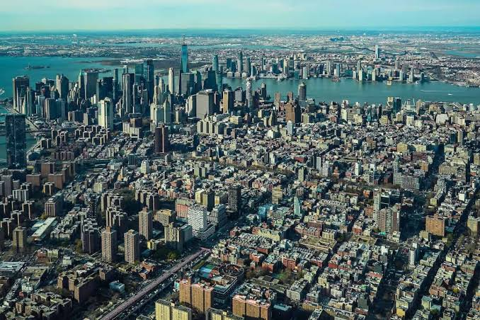
In 1811, city planners in Manhattan redefined modern geography by introducing the famous Commissioners’ Plan. They laid a massive, relentless grid across the island’s rolling hills, streams, and rocks. This massive project created twelve parallel avenues running north and 155 streets running east and west.
The politicians chose this layout because buying, selling, and developing rectangular lots of land was incredibly easy for businesses. As a result, the island’s natural topography vanished completely under a blanket of asphalt and stone. Straight lines replaced the winding paths that Native Americans had used for centuries.
Today, this grid makes finding a specific address very simple for delivery drivers and tourists. Nevertheless, the cold lines create a strange, uniform environment where it is easy to feel like a number. The grid only functions because millions of diverse people inject their own art, street music, and cultural neighborhoods into the concrete boxes.
3. The Galactic Wings of Brasília
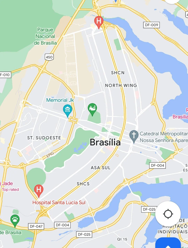
Brasília is Brazil’s federal capital and stands as one of the most ambitious urban design experiments of the twentieth century. Built in the late 1950s, the chief planner shaped the entire city to look like a massive airplane from the sky. This futuristic design was supposed to symbolize a nation taking off into progress and wealth.
The planners separated the city into strict, functional zones, meaning you sleep in one wing, work in the center body, and shop in specific sectors. As a result, the city functions perfectly for fast-moving cars and massive government transport networks. As a result, the layout largely ignores the needs of a normal pedestrian trying to walk down the street.
There are very few traditional sidewalks, street corners, or public plazas where people can naturally bump into each other. Living in Brasília requires a car to buy a simple loaf of bread. It’s a powerful reminder that turning an entire city into a massive, rigid machine often drains the human soul from the landscape.
These urban layouts remind us that a community is a living, breathing organism. Standard digital blueprints give us a helpful guide for daily navigation, but they can never map the true spirit of a neighborhood. The world is much more than lines on a grid.
Which of these planned city layouts would you find the most difficult to live in? Do you prefer the predictable order of a modern grid or the winding mystery of a historic neighborhood? Let us know your thoughts in the comments section below, and share this post with your friends!