

The world is much more than lines on a grid
Atlases tell you how to get somewhere. MuchMoreMaps explains why a place is shaped the way it is: the treaties, accidents and daily habits behind borders, cities, cultures and landscapes.
Geography with a human story
Navigation apps squeeze the planet into neat boxes and turn-by-turn directions. The odd details get lost: a town split by a painted line, a capital that moved overnight, a street where two countries share the pavement.
We go looking for those details. Each article pairs a map with the history behind it, so you can see the pattern and understand how it got there.
We are an independent digital atlas for curious minds, design lovers and geography geeks.
What we map
Four sections, one question: why does the world look this way?
Borders
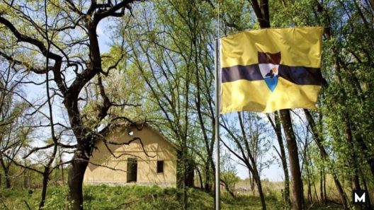
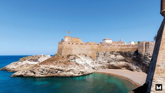
Enclaves, exclaves and boundaries that cut through villages, rivers and living rooms.
Explore bordersCities
Planned grids, medieval mazes and capitals built from scratch, and what their layouts reveal.
Explore citiesCulture
Where people drive, drink, greet and speak differently, and the history behind each divide.
Explore cultureLands
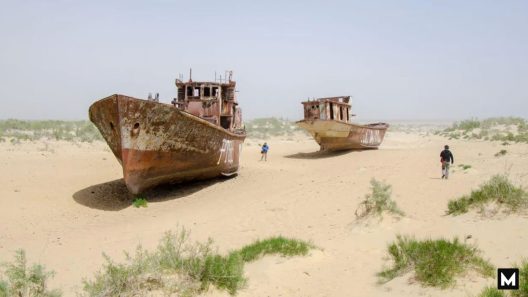
Lakes, deserts, islands and mountains, including landscapes that have changed or vanished.
Explore landsHow we work
A map is only worth sharing if you can trust it.
We cite our sources
Every article lists where its facts and data come from, so you can check them yourself.
We fix mistakes openly
If we get something wrong, we correct it and note the change at the top of the article. Report an error.
We credit every map
Maps are original or credited to their makers. Want to share yours? Submit it here.
Start exploring
The lines politicians draw divide countries. The stories between them are more interesting.