

Modern cartography looks incredibly precise, yet our continents hide fascinating ghost landscapes that completely vanished from the modern world map. Environmental disasters and climate shifts routinely erase vast regions that once housed thriving ecosystems and ancient settlements. For instance, researchers tracking historical map data at the Library of Congress frequently encounter massive territories that now exist only in old textbooks. Consequently, modern travelers cannot trace these lost realms because nothing of their physical structures remains.
Our planet changes at a staggering speed that often catches civilizations completely off guard. Short-term human decisions combined with aggressive environmental shifts can wipe out vast geographical areas in less than a single generation. Whole ecosystems that supported thousands of families can turn into barren voids, leaving future generations to wonder whether these regions ever existed outside folklore.
Standard satellite imagery completely fails to reveal the deep historical scars left behind by these sudden disappearances. Modern digital grids show clean, blue waters or solid green forests where ancient valleys and massive inland seas once defined a continent’s shape. These smooth digital maps essentially sanitize the past, masking the profound disruptions that reshaped human settlements.
Looking closely at these forgotten spaces reveals how heavily they still impact our current political borders and resource conflicts. Examining what went wrong provides crucial lessons for protecting our remaining vulnerable territories before they disappear too. Let us count down three remarkable regions that turned into ghostly memories.
1. The Aral Sea
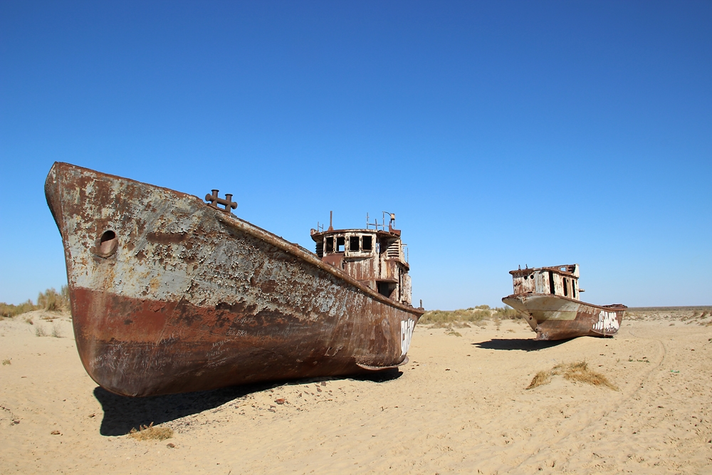
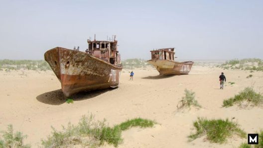
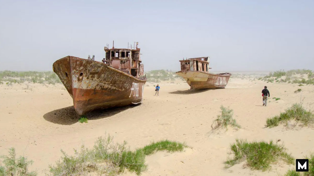
Central Asia once contained the fourth-largest lake on the planet, stretching across thousands of square miles of thriving fishing waters. However, aggressive twentieth-century irrigation projects diverted the feeding rivers to sustain massive desert cotton fields. As a result, the water levels plummeted rapidly over a few decades. The shrinking shoreline left behind a vast, toxic desert known today as the Aralkum Desert. Rusting fishing trawlers now sit stranded atop dry sand dunes, silent monuments to an erased ecosystem.
2. Doggerland
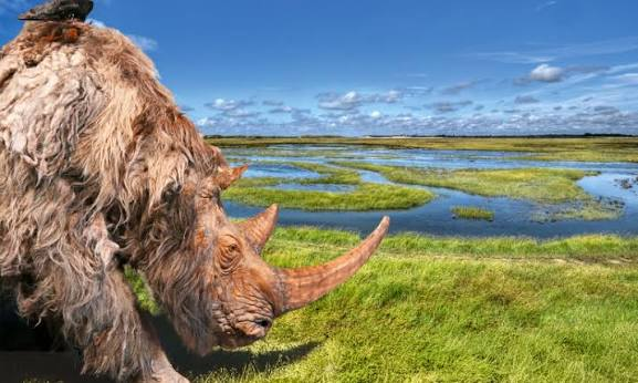
Thousands of years ago, a massive land bridge connected Great Britain directly to mainland Europe. Hunters crossed this fertile plain to pursue migrating wildlife across vast rivers and dense marshes. Nevertheless, rising sea levels at the end of the last ice age slowly submerged the low-lying terrain under the North Sea. Modern deep-sea trawlers routinely pull up ancient tools and mammoth bones from the ocean floor. This underwater territory reminds us that entire cultural landscapes can disappear beneath the waves when global temperatures shift.
3. The Aral-Caspian Depression
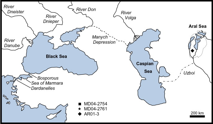
Ancient explorers mapped out massive inland waterways that connected large basins across Eurasia. These dynamic aquatic routes allowed unique species to migrate and sustained early nomadic trading camps along the shores. As these channels dried, they permanently altered regional migration patterns and disrupted local microclimates. The sudden loss of these water networks forced communities to abandon their ancestral villages. Today, satellite grids show only barren salt flats where vibrant trade routes once flourished.
The rapid disappearance of these distinct regions demonstrates that our continents remain fluid rather than static. The world is much more than lines on a grid.
Which vanished landscape or changing ecosystem near your own hometown surprises you the most when you look at old regional maps? Tell us your stories in the comments below!