
Modern maps seem complete, yet a few geopolitical anomalies preserve fascinating pockets of unclaimed land on Earth that no nation owns. Legal scholars studying international maritime and territorial laws at the United Nations classify these rare zones under a unique historic framework. Specifically, the global community defines these administrative gaps as completely vacant spaces. Consequently, these geographical orphans exist outside the boundaries of any recognized sovereign government.
Human societies spent centuries fighting over borders and planting flags on every remote island across the sea. Explorers documented nearly every mountain range and desert valley to ensure their home nations secured valuable resources.
Nevertheless, historical map errors and diplomatic disputes created strange structural glitches that standard digital grids fail to display properly. These administrative errors left behind unique territory that neighboring countries refuse to claim due to complex treaty traps.
These isolated zones present a beautiful contrast to our highly regulated modern world. Let us count down three remarkable spaces where international law completely breaks down.
1. Bir Tawil
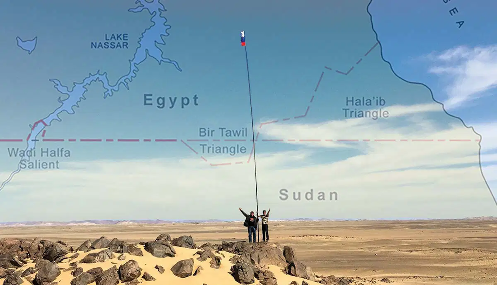
Tucked away between Egypt and Sudan lies an eight-hundred-square-mile wedge of barren desert. This territory represents the most famous example of inhabited vacant space on the planet today. The anomaly started when British officials drew conflicting border lines over a century ago. They created a straight political line and a separate jagged administrative boundary to accommodate local nomadic tribes. Today, both neighboring nations reject this desert patch because claiming it would force them to give up a much larger, oil-rich coastal triangle. As a result, both governments ignore this empty sandbox.
2. Marie Byrd Land
Antarctica contains massive fields of ice, but one colossal section remains entirely free from any sovereign claims. This freezing territory spans over 620,000 square miles of remote wilderness. Although seven nations claimed pie-shaped slices of the continent before the mid-twentieth century, no one ever stepped forward to secure this sector. The extreme cold and dangerous ice sheets made exploration nearly impossible for early teams. Therefore, the signing of the Antarctic Treaty permanently froze the map, leaving this massive void as the single largest piece of unclaimed land on Earth.
3. Gornja Siga
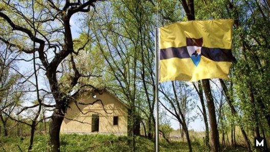
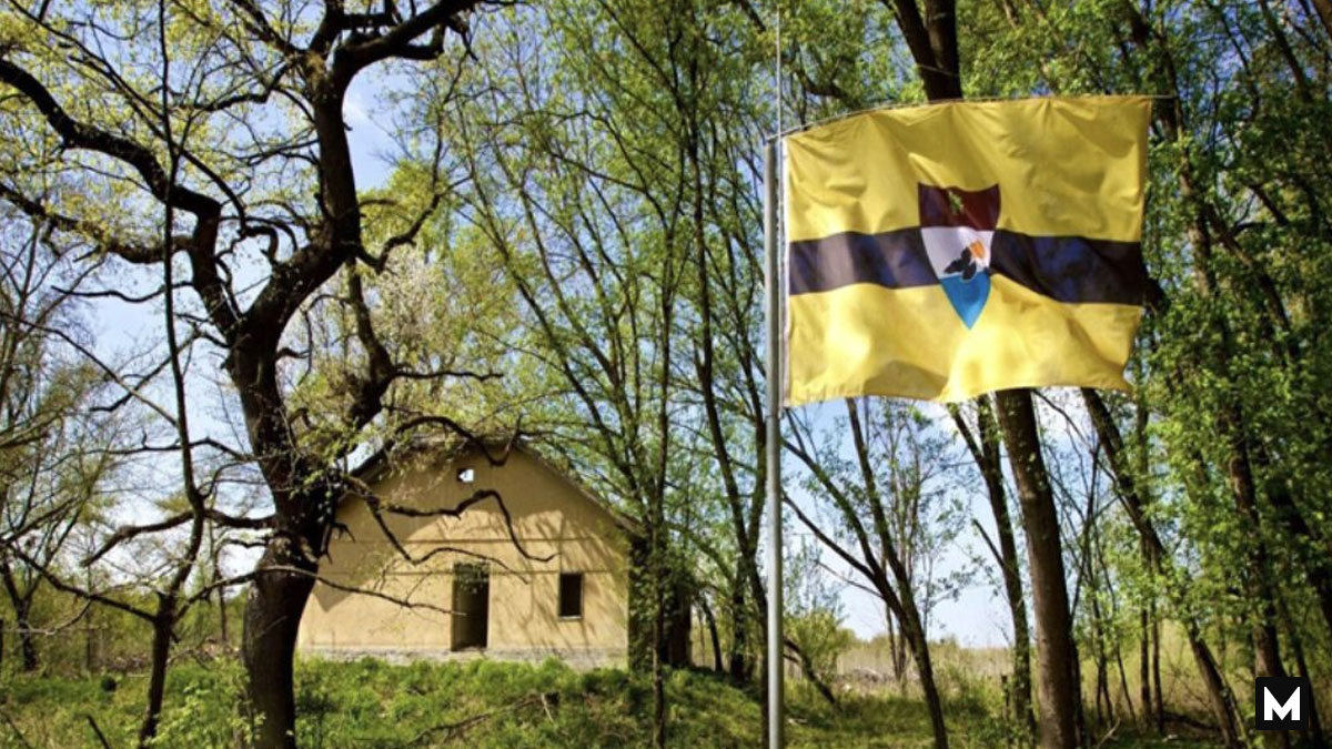
The breakup of Yugoslavia redrew the map of Europe and accidentally created a strange cartographic glitch along the Danube River. As the water naturally shifted its path over decades, the old border markers no longer matched the active river channel. Croatia insists on using the old land coordinates, whereas Serbia prefers the modern flowing channel. Because their legal arguments overlap, a three-square-mile marshy forest became completely vacant. An internet activist noticed this legal loop in two thousand and fifteen, planted a flag, and declared a brand-new micronation.
These vacant spaces prove that our political maps remain fragile human inventions filled with unexpected flaws. The world is much more than lines on a grid.
Would you ever dare to travel to an unclaimed wilderness that has no police force, no official currency, and no government laws? Please tell us your thoughts in the comment section below!