

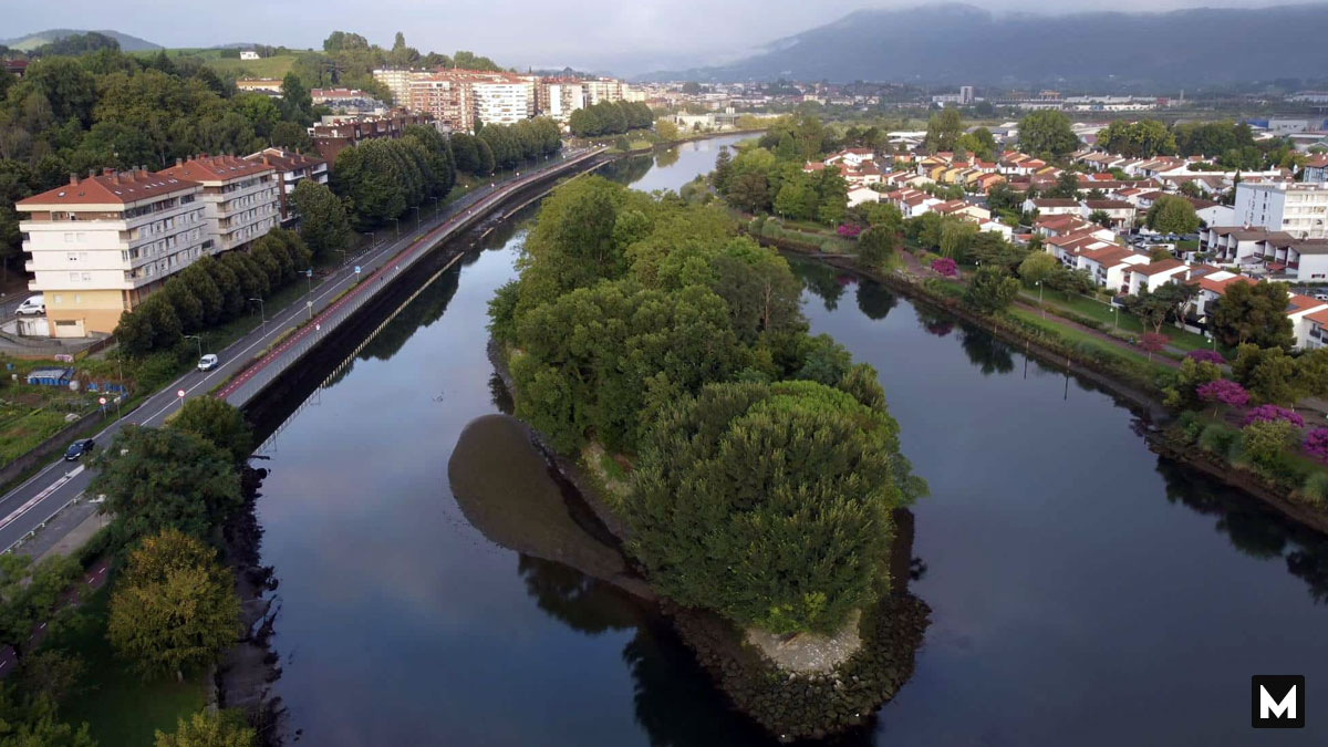
Most international borders exist as fixed lines on a map. You cross a checkpoint. You show your passport, and you instantly step from one nation into another. But what if the land itself changed its nationality while you were standing on it? Welcome to Pheasant Island, a tiny, uninhabited patch of land that holds a truly bizarre geopolitical record. It is the only island shared by two countries that legally swaps its official nationality, government, and ownership every six months. This repeating loop has been occurring for over 350 years, making it the oldest active alternating territory in human history.
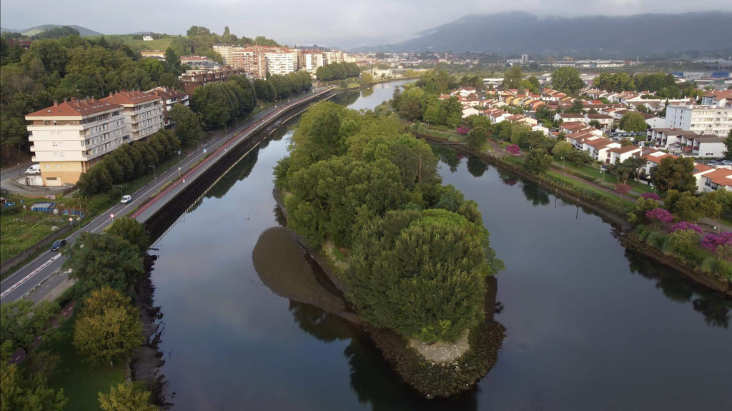
The island operates under a rare legal concept known as a joint condominium, and instead of dividing the physical land down the middle with a fence, Spain and France agreed to take turns ruling the entire territory. The political calendar rolls over like clockwork twice a year. From February to July, the island is officially Spanish territory. The naval command of San Sebastián manages it during this block. At the same time, the island automatically flips to French territory on the first day of August. The naval command of Bayonne then governs it for the next six months.
Why go through the logistical trouble of swapping an island’s nationality twice a year? The answer lies in a historic peace treaty signed in 1659. For decades, Spain and France were locked in the brutal Thirty Years’ War. When it came time to negotiate a peace agreement, royal diplomats picked this specific river patch as neutral ground. Because the island sat exactly in the middle of the border river, neither king had to set foot on rival soil. Essentially, the meetings resulted in the Treaty of the Pyrenees, which officially ended the war and drew the modern border between the two empires.
To commemorate the peace agreement, both nations built a monument on the island. They agreed to share custody forever rather than fight over ownership. Accordingly, the general public is strictly forbidden from stepping onto the land today. The territory is completely uninhabited and closed to tourists. Only municipal workers from Irún in Spain or Hendaye in France are legally allowed to land on its shores. They cross the river by boat to trim the grass and maintain the historical monument.
By comparison, you can easily view this geographic oddity from either riverbank. The Spanish and French sides of the river are lined with beautiful pedestrian paths. These paths offer a clear view of the dense, tree-covered sanctuary playing its eternal game of geopolitical musical chairs. Overall, this unique territory reminds us that borders don’t always have to be walls. While a tiny island shifting between Spanish and French control twice a year sounds like a legal headache, it stands as a peaceful monument to diplomacy.
Would you want to visit this hidden river sanctuary if the governments opened it up to public tours? Do you know of any other unique landmarks or parks split between two nations? Let us know your thoughts in the comments section below, and share this post with your fellow map lovers!